Flow, by Dataionics
Flow,by Dataionics
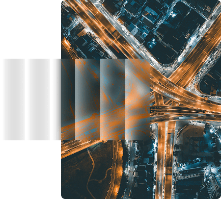
What Flow is
Flow is a unified API that retrieves geospatial data from federated sources and delivers it directly into your compute environment. It acts as the logistics layer between raw EO archives and your models, dashboards or applications.
Flow is built for automation, scale and reliability from day one.
With Flow, you can:
Search across public and private geospatial archives
Preprocess data on the fly
Deliver directly into your infrastructure
Receive full traceability and proof of delivery
Why it matters
Geospatial Data is abundant. Operational retrieval is not. Prototypes work.Production pipelines struggle.
Most teams face the same friction:
Fragmented access across multiple archives.
Manual preprocessing before ingestion.
Large orders that fail under load
Pipelines that break when scaling
Flow exists to remove that friction
Why it matters
Geospatial Data is abundant. Operational retrieval is not. Prototypes work.Production pipelines struggle.
Most teams face the same friction:
Fragmented access across multiple archives.
Manual preprocessing before ingestion.
Large orders that fail under load.
Pipelines that break when scaling.
Flow exists to remove that friction
How it works
01
Search
Spatial coordinates (WKT, GeoJSON, bounding box)
Temporal ranges
Quality filters such as cloud or snow cover
Sensor type (Optical, SAR, Hyperspectral, LiDAR)
Private providers via Dataionics Channel
One interface. Multiple archives.
Query federated data sources using simple parameters:
Spatial coordinates (WKT, GeoJSON, bounding box)
Temporal ranges
Quality filters such as cloud or snow cover
Sensor type (Optical, SAR, Hyperspectral, LiDAR)
Private providers via Dataionics Channel
One interface. Multiple archives.
02
Order
AOI cropping
Band selection
Reprojection and resampling
Atmospheric correction
Cloud filtering
NDVI and band math
Interoperable formats (GeoTIFF, Parquet, COG, Zarr, DGGS)
Run your own Dockerized processing on the fly
No manual post-processing required.
Preprocess data before delivery to match your exact needs:
AOI cropping
Band selection
Reprojection and resampling
Atmospheric correction
Cloud filtering
NDVI and band math
Interoperable formats (GeoTIFF, Parquet, COG, Zarr, DGGS)
Run your own Dockerized processing on the fly
No manual post-processing required.
Get delivered in your workflow
Send data directly where you work. Not into another silo.
HTTP push or pull
S3 object storage
OGC WMTS and WCS endpoints
Large orders are automatically split into manageable chunks to ensure stability and performance.
Receive full traceability record
Every delivery includes a digital proof file containing:
Source provenance
Processing record
Timestamp
Cryptographic signature
Full traceability by design.
More information
Flow is engineered for real workloads, not demos.
API uptime target: 99.9%
Automatic chunking for large orders
Built-in retry and kill functions for stuck transfers
Delivery-window SLA defined per project
Flow is engineered for real workloads, not demos.
API uptime target: 99.9%
Automatic chunking for large orders
Built-in retry and kill functions for stuck transfers
Delivery-window SLA defined per project

Contact
If you are building with Geospatial Data and need infrastructure that can scale beyond a pilot phase, we should talk.